


JGC is a company with class B qualification of surveying and mapping.
(serial number: class B qualification 22001079)
Scope of business:
Engineering Surveying: control measurement, topographic surveying, construction measurement, mine surveying; geodesy: GPS, leveling, triangulation, gravity surveying; Cadastral Surveying and mapping.
Existing twenty seven types of surveying and mapping professionals, in which there is one registered surveyor, seven senior professional and technical personnel , sixteen intermediate professional and technical personnel, three junior professional and technical personnel.
JGC is equipped with tope quality of surveying instruments, nine Trimble R6 and R4 dual band GPS receiver, four Thales Z-max dual band GPS receiver , one Leica TS30 ( 0.5 ″) of total station instrument, three Leica TS02 ( 2 ″) of total station instrument ( R1000 m ), two Leica TS02 ( 5 ″) of total station instrument ( R1000 m ), one Leica DNA03+ electronic level instrument and other equipment,etc
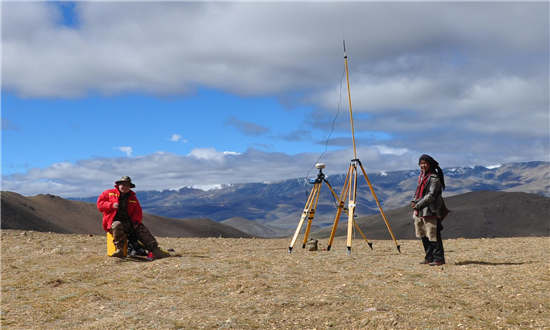
Tibet Zhaxikang Mine Area Survey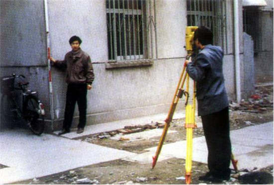
Housing Cadastral Surveying and Mapping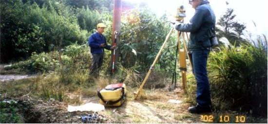
Hulin City,Heilongjiang Province ,the Highway Measurement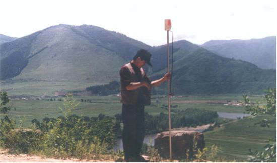
Urban and Rural Planning Survey in 90s
HOME | ABOUT US | BUSINESS AREA | COMPANY PERFORMANCE | Geophysical Prospecting Equipment | ISO AUTHENTICATION | HSE AUTHENTICATION | Qualification Certificate
Copyright ©2016 Jilin Geophysical Company All Rights Reserved. Technical support:North South Science and technology mailbox: Contact number:0431-84620695